An official website of the United States government
Here’s how you know
Official websites use .gov
A .gov website belongs to an official government organization in the United States.
Secure .gov websites use HTTPS
A lock (
) or https:// means you’ve safely connected to the .gov website. Share sensitive information only on official, secure websites.
-
//
- Census.gov /
- Our Surveys & Programs /
- Statistics in Schools /
- Resources /
- Visualizations /
- I-95 Population Density Profile, 2010
I-95 Population Density Profile, 2010
Share
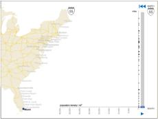
Running from Florida to Maine, I-95 passes through 15 states and several major cities. I-95 serves the most densely populated region of the U.S., the Boston-to-Washington corridor. Peaks and valleys in population density within 5 miles of the interstate show several stretches of continuously built-up area, especially evident from Petersburg, VA to Lewiston, ME. This data visualization is based on the average population density of areas within 5 miles of the I-95 route, in 2-mile increments, using 2010 data.
Access the Visualization
Activity Related to this Topic
 Yes
Yes
 No
NoComments or suggestions?


Top


