
Official websites use .gov
A .gov website belongs to an official government organization in the United States.
Secure .gov websites use HTTPS
A lock (
) or https:// means you’ve safely connected to the .gov website. Share sensitive information only on official, secure websites.

Topics
Data & Maps
Surveys & Programs
Resource Library
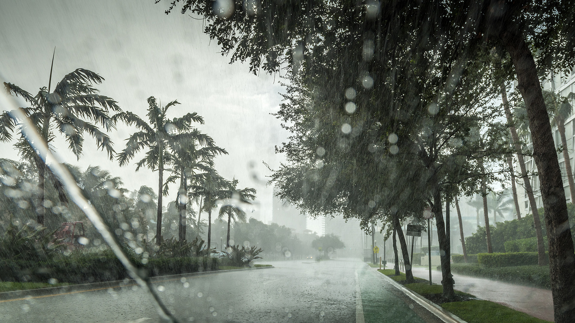
Census Bureau Data Can Help With Emergency Management Response and Recovery
The 2024 hurricane season officially began June 1 and is predicted to have an above-normal amount of hurricane activity.
In preparation for several potential emergency events, we are highlighting U.S. Census Bureau tools that combine demographic and economic data to help prepare, respond and recover from natural disasters and other catastrophic events.
By providing an easily understood metric for every neighborhood in the United States, the CRE estimates the capacity of individuals and households to absorb, endure and recover from disasters.
Decision-makers can use these tools to understand the impact of a hurricane on people, workers, businesses and industries in affected regions.
Community Resilience Estimates
Community Resilience Estimates (CRE) describe social vulnerability to natural disasters. By providing an easily understood metric for every neighborhood in the United States, the CRE estimates the capacity of individuals and households to absorb, endure and recover from disasters.
The social vulnerability estimates are based on 10 components including poverty, employment and broadband access. The CRE uses data available only from the Census Bureau to provide the most granular, accurate and timely estimates.
The CRE also includes companion data releases such as the CRE Equity Supplement, the CRE for Heat and the CRE for Puerto Rico. The CRE for Equity Profiles tool also displays resilience estimates and other socioeconomic characteristics down to the census tract level.

My Community Explorer
My Community Explorer (MCE) is an interactive map-based tool that combines real-time disaster tracking information like hurricane paths, storms and wildfires with Census Bureau data on affected areas.
Live updates for natural disasters come from the National Hurricane Center (NHC), the National Weather Service (NWS) and the Integrated Reporting of Wildland-Fire Information service.
MCE also displays Census Bureau data from CRE, the American Community Survey, County Business Patterns and Nonemployer Statistics.
Emergency management professionals can use this suite of data layers to identify underserved communities that could be adversely affected by hurricanes.
An important feature of MCE is that you can view data for a neighborhood (census tract). For example, 17.7% of the population of Fulton County, Georgia, is considered socially vulnerable. But in some neighborhoods within the same county, more than 40% of the population is socially vulnerable.

OnTheMap for Emergency Management
OnTheMap for Emergency Management is a web-based tool that integrates real-time natural disaster data and workforce, population and housing data to give users insights on the demographic and economic conditions of disaster-impacted areas. Also, knowing where people live and work can help plan evacuation routes.
This tool’s natural disaster data includes hurricane data from NHC, flood and snowstorm data from NWS and wildfire data from the National Interagency Fire Center.

Census Business Builder
The Census Business Builder (CBB) is an interactive mapping tool that provides economic and demographic data for geographies down to census tracts.
Users can get a detailed report on the supply chain information for any FEMA Declared Disaster Area, including top imports, employment and impacted products.
An upcoming America Counts story uses a case study of a recent flood disaster in Rhode Island to demonstrate how the CBB can gauge the economic impact of disasters on communities.
Disaster Impact Research
The Census Bureau also conducts research to highlight the impact of a disaster.
For instance, after the March 26, 2024, collapse of the Francis Scott Key Bridge in Baltimore, Maryland, we used CRE, ACS and Census Bureau economic data to show the potential impact on the communities affected by the disaster.
In the weeks that followed, we reported on the worker profile of those who commuted on the Key Bridge. In a first-of-its-kind analysis, we combined ACS data with road network data to estimate driving routes for Baltimore commuters. This analysis allowed us to identify bridge commuters and compare their demographic and economic characteristics to nonbridge commuters.
The CRE's Disaster Impacts page will track future impact research for specific disasters. The Census Bureau’s Emergency Management/Disasters is another landing page that provides quick access to resilience estimates and demographic, business and economic data for different types of disasters.
Data for Puerto Rico and U.S. Island Areas
The Census Bureau has also collected and published data for Puerto Rico and U.S. Island Areas.
Tools for Puerto Rico include CRE for Puerto Rico, a mapping tool and the Equity Supplement. OnTheMap for Emergency Management and CBB also include natural disaster, data worker characteristics and business establishments for Puerto Rico.
Population, demographic and housing characteristics data for the Island Areas (American Samoa, the Commonwealth of the Northern Mariana Islands, Guam and the U.S. Virgin Islands) can be downloaded from data.census.gov and the 2020 Island Areas Censuses Data Products page.
Local emergency managers in Puerto Rico and the Island Areas can use these data products and tools to prepare a timely and targeted disaster response during the hurricane season.
This article was filed under:
Subscribe
Our email newsletter is sent out on the day we publish a story. Get an alert directly in your inbox to read, share and blog about our newest stories.
Contact our Public Information Office for media inquiries or interviews.
-
PopulationNatural Disasters Are Primary Reason Island Areas Residents MovedThe share of movers in the Island Areas who reported natural disasters was their primary reason for moving from 2015 to 2020 ranged from about 27% to over 41%.
-
PopulationBridge Collapse Could Affect Over a Million People in Baltimore AreaThe Community Resilience Estimates show that 21.7% of residents in the combined areas of Baltimore city and County are considered socially vulnerable.
-
Data EquityIncome Inequality Linked to Social Vulnerability to DisastersThe Community Resilience Estimates Equity Supplement shows a connection between income inequality and social vulnerability to disasters.
Housing
Where You Can Get More House for the Money
Census Bureau construction data show the cost and characteristics of the nation’s new homes by region.
Population
Older Population Grew in Nearly All U.S. Metro Areas
New 2023 metro area population estimates by age show increases in older adults in almost all metro areas, with decreases in young people in many metro areas.
Income and Poverty
Majority of Older Adults in Poverty in 2021 Lived Alone
New Census Bureau report explores demographic characteristics, living arrangements and income sources of older adults living in poverty.
Population
Broadband Access in Tribal Areas Lags Rest of the Nation
Residents in tribal areas had a 6-point gap in broadband access compared to non-tribal residents in 2021, but the digital divide is narrowing.
Page Last Revised - June 21, 2024
✕
Is this page helpful?
 Yes
Yes
 No
No
 Yes
Yes
 No
No✕
NO THANKS
255 characters maximum
 255 characters maximum reached
✕
Thank you for your feedback.
Comments or suggestions?

Comments or suggestions?