2023 Canada Wildfires and United States Air Quality
2023 Canada Wildfires and United States Air Quality
Smoke from Canadian wildfires poured into the U.S. East Coast and Midwest on Wednesday, covering the capitals of both nations in an unhealthy haze, holding up flights at major airports, postponing Major League Baseball games and prompting people to fish out pandemic-era face masks. (apnews.com)
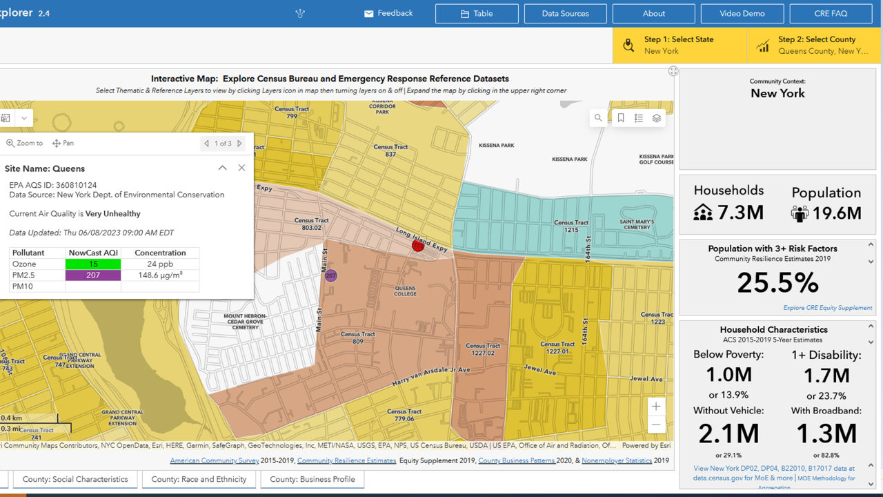
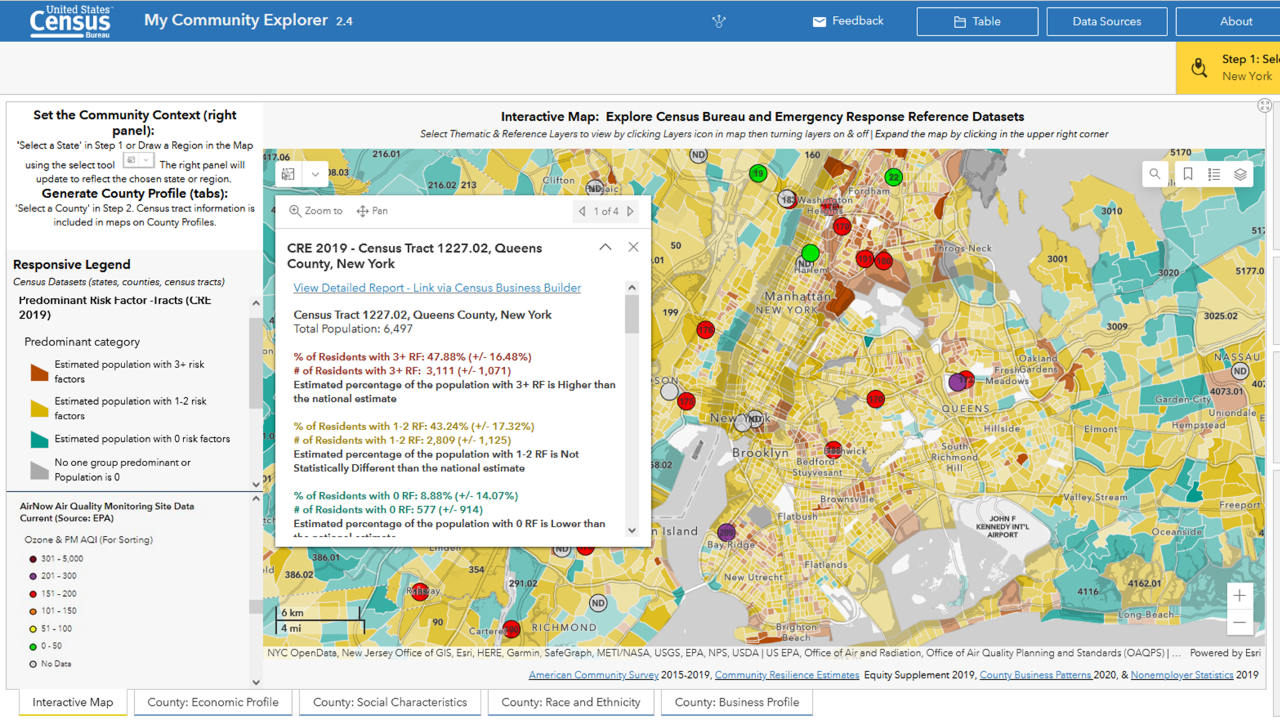
My Community Explorer allows users to see the Environmental Protection Agency’s (EPA) AirNow alerts overlayed with Community Resilience Estimates (CRE) for Equity. CRE shows which areas have the most people who are at High, Medium, or Low Risk based on the number of Risk Factors they have such as Living in Poverty, Experiencing a Disability, No Vehicle Access, Lacking Broadband Internet Access, and more. The CRE program has published the CRE for Equity to provide additional context about social vulnerability and equity. This tool does this by combining data points from multiple Census Bureau data products in one easy to access data set.
Example of available data from the My Community Explorer.


