
Official websites use .gov
A .gov website belongs to an official government organization in the United States.
Secure .gov websites use HTTPS
A lock (
) or https:// means you’ve safely connected to the .gov website. Share sensitive information only on official, secure websites.

Topics
Data & Maps
Surveys & Programs
Resource Library

Vermont 230th Anniversary of Statehood (1791): March 4, 2021
Press Release Number CB21-SFS.26

From the Guide to 2010 State and Local Census Geography — Vermont — History:
“The area of Vermont was part of the original territory of the United States. It was included in the Charter of New England in 1620, but was later included in grants creating New York in 1664 and 1674. Representatives of 51 towns in the present area declared an independent state of “New Connecticut alias Vermont” in 1777, but also referred to the area as the “New Hampshire Grants.” New York consented to the statehood separation of Vermont, which was admitted to the Union on February 18, 1791, as the 14th state, with generally the same boundary as the present state.
“Census data for Vermont are available beginning with the 1790 census.”
Key Stats
From QuickFacts: statistics for all states and counties, and for cities and towns with a population of 5,000 or more.

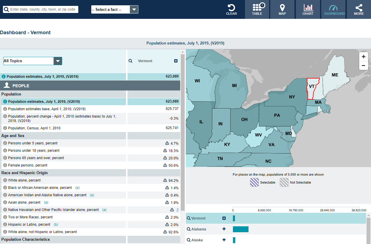
Note: The dashboard shown above is cropped at the bottom. Click on the image to see the full dashboard.
More Stats
From data.census.gov:

Source: U.S. Census Bureau, Population Division (Annual Estimates of the Resident Population).

Source: 2019 American Community Survey (ACS) 1-Year Estimates.
From the State Data Center (SDC) Program:
From Foreign Trade > U.S. International Trade Data:
Note: After you create an account, you can choose between State Export Data (Origin of Movement) or State Import Data (State of Destination) by Harmonized System (HS) or NAICS. For more information, see the Quick Start Guide.
From the Statistics in Schools (SIS) program:
From U.S. Census Bureau History:
Page Last Revised - October 8, 2021
✕
Is this page helpful?
 Yes
Yes
 No
No
 Yes
Yes
 No
No✕
NO THANKS
255 characters maximum
 255 characters maximum reached
✕
Thank you for your feedback.
Comments or suggestions?

Comments or suggestions?