
Official websites use .gov
A .gov website belongs to an official government organization in the United States.
Secure .gov websites use HTTPS
A lock (
) or https:// means you’ve safely connected to the .gov website. Share sensitive information only on official, secure websites.

Topics
Data & Maps
Surveys & Programs
Resource Library

Kansas 160th Anniversary of Statehood (1861): January 29, 2021
CB21-SFS.009

From the Guide to 2010 State and Local Census Geography — Kansas — History:
“The United States acquired the area of Kansas from France in 1803 as part of the Louisiana Purchase. Part of the area was subsequently relinquished in a treaty with Spain in 1819, and was reacquired as part of the annexation of Texas in 1845. Kansas Territory was organized on May 30, 1854, from Missouri Territory (also identified in some statutes as Indian Country or Indian Territory), and included part of present-day Colorado. Kansas was admitted to the Union on January 29, 1861, as the 34th state, with generally the same boundary as the present state. The remaining part of the territory was included in Colorado Territory, which was organized in February 1861.
“Census data for Kansas are available beginning with the 1860 census.”
Key Stats
From QuickFacts: statistics for all states and counties, and for cities and towns with a population of 5,000 or more.

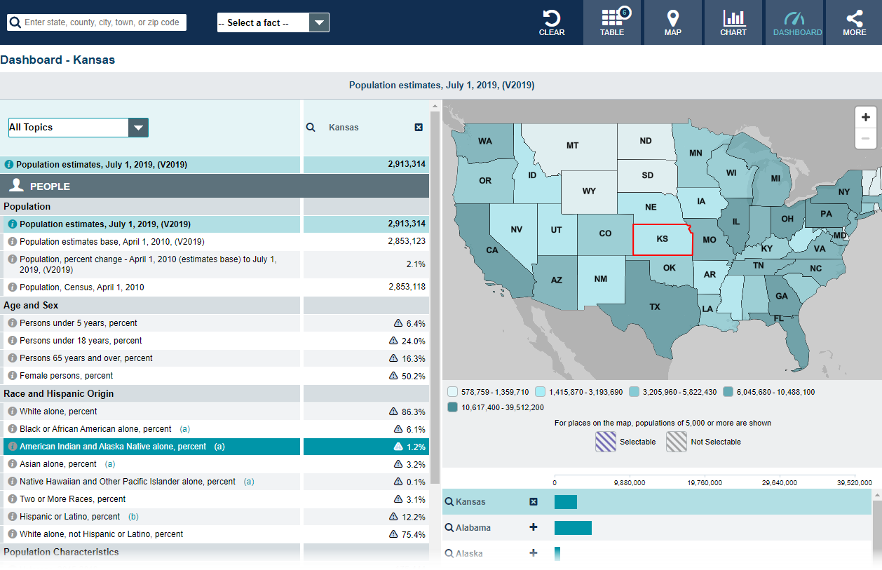
Note: The dashboard shown above is cropped at the bottom. Click on the image to see the full dashboard.
More Stats
From data.census.gov:

Source: 2019 American Community Survey (ACS), 1-Year Estimates.
From the State Data Center (SDC) Program:
From Foreign Trade > U.S. International Trade Data:
Note: After you create an account, you can choose between State Export Data (Origin of Movement) or State Import Data (State of Destination) by Harmonized System (HS) or NAICS. For more information, see the Quick Start Guide.
From the Statistics in Schools (SIS) program:
From U.S. Census Bureau History:
Page Last Revised - December 16, 2021
✕
Is this page helpful?
 Yes
Yes
 No
No
 Yes
Yes
 No
No✕
NO THANKS
255 characters maximum
 255 characters maximum reached
✕
Thank you for your feedback.
Comments or suggestions?

Comments or suggestions?