
Official websites use .gov
A .gov website belongs to an official government organization in the United States.
Secure .gov websites use HTTPS
A lock (
) or https:// means you’ve safely connected to the .gov website. Share sensitive information only on official, secure websites.

Topics
Data & Maps
Surveys & Programs
Resource Library

Stats for Stories: Idaho 130th Anniversary of Statehood (1890): July 3, 2020
Press Release Number CB20-SFS.82

From the Guide to 2010 State and Local Census Geography — Idaho — History:
The United States acquired the area of Idaho through a treaty with Great Britain in 1846. Idaho Territory was organized from parts of Dakota, Nebraska, and Washington territories on March 3, 1863, and included parts of present-day Montana and Wyoming. Its area was reduced in 1864 by the organization of Montana Territory and again in 1868 by the organization of Wyoming Territory, to generally the same boundary as the present state. Idaho was admitted to the Union on July 3, 1890, as the 43rd state.
Data for the legally established state of Idaho are available beginning with the 1900 census.
Key Stats:
From QuickFacts: statistics for all states and counties, and for cities and towns with a population of 5,000 or more.

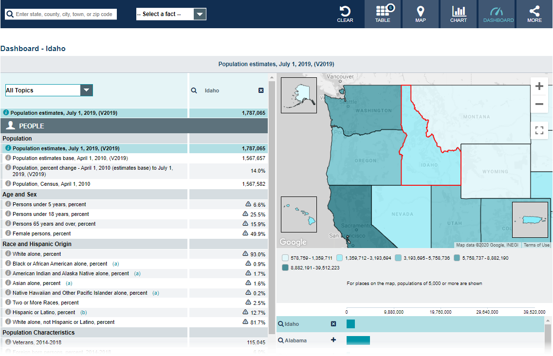
Note: The dashboard shown above is cropped at the bottom. Click on the image to see the full dashboard.
More Stats:
From data.census.gov — the U.S. Census Bureau's new dissemination platform.

Source: 2018 American Community Survey (ACS), 1-Year Estimates.
From the Statistics in Schools program:
From the State Data Center (SDC) Program:
From Foreign Trade > U.S. International Trade Data:
Note: After you create an account, you can choose between State Export Data (Origin of Movement) or State Import Data (State of Destination) by Harmonized System (HS) or NAICS. For more information, see the Quick Start Guide.
Page Last Revised - December 16, 2021
✕
Is this page helpful?
 Yes
Yes
 No
No
 Yes
Yes
 No
No✕
NO THANKS
255 characters maximum
 255 characters maximum reached
✕
Thank you for your feedback.
Comments or suggestions?

Comments or suggestions?