
Official websites use .gov
A .gov website belongs to an official government organization in the United States.
Secure .gov websites use HTTPS
A lock (
) or https:// means you’ve safely connected to the .gov website. Share sensitive information only on official, secure websites.

Topics
Data & Maps
Surveys & Programs
Resource Library
Providing Users With Accessible Data
Providing Users With Accessible Data
Many people associate the U.S. Census Bureau with the decennial census, the once a decade count of every person living in the United States. But that’s not all we do. The Census Bureau conducts more than 130 censuses and surveys each year.
The American Community Survey (ACS) is one of those surveys – and, its data reflect what our communities look like, how they have changed, and how those changes impact our daily lives. Its data, along with data collected from our other surveys, also affect where, and when, new roads, schools, after-school programs, or hospitals are specifically placed in our communities.
The ACS plays a major role in our ever-changing and growing communities. The data it collects provides a detailed portrait of the social, economic, housing, and demographic characteristics of America’s communities – these data help policymakers, business leaders, community planners and others, make informed decisions. And, as an ongoing survey, the ACS provides vital longitudinal data crucial for detailed population and housing information about our nation.
The ACS has an extensive range of data users—from academics to small business owners—and our interactions with them are evolving. The 2023 ACS Data Users Conference is a prime example of how we engage with our data users. This 3-day conference highlights the work done by Census Bureau subject matter experts and ACS data users.
To serve our users even more effectively, we need to evolve with them and provide better and more innovative ways to meet their needs. While data.census.gov is the Census Bureau's primary tool for accessing data from the ACS, there are many other ways to access ACS estimates and microdata.
To help users find the data, we have lists of subjects included in the ACS, different types of ACS data products and tools available, and handbooks geared toward distinct data user groups.
Other specialized tools provide users with quick and easy access to statistics for particular geographic areas and topics. Tools like:
My Congressional District
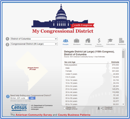
My Congressional District gives users quick and easy access to selected statistics for U.S. congressional districts, based on data from the ACS and County Business Patterns database.
My Tribal Area
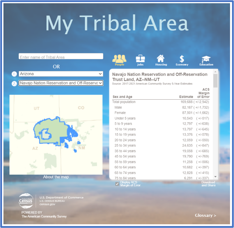
My Tribal Area is a specialized tool that allows data users to easily access and view population and housing estimates for American Indian and Alaska Native areas from the ACS. The tool displays tables of the latest ACS 5-year estimates for select social, economic, housing, and demographic characteristics.
Census Business Builder
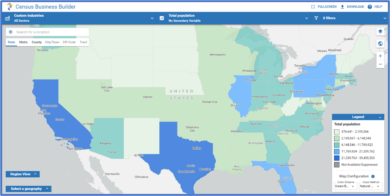
Designed for entrepreneurs needing data to help start or grow a business, Census Business Builder can help users better understand an area’s business landscape. The data can be used in determining potential locations for new businesses or in creating a business plan for investors.
QuickFacts
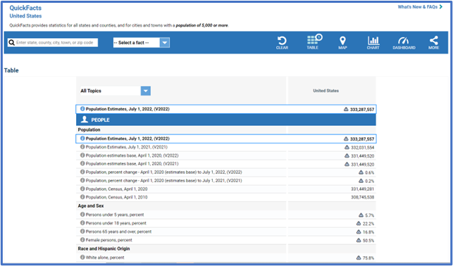
QuickFacts provides fast, straightforward access to the most requested social, economic, and housing characteristics of a given state, county, city, or town. QuickFacts uses data from the ACS, Population Estimates, and other data sources.
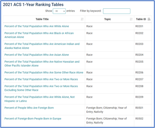
Ranking Tables
Geographic Comparison Tables
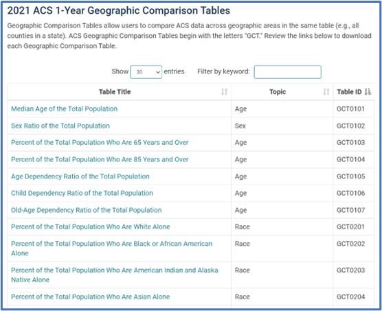
Those interested in geographic comparisons for areas other than states may be interested in the Geographic Comparison Tables, which allow comparison of ACS data across a variety of geographic areas.
Narrative Profiles
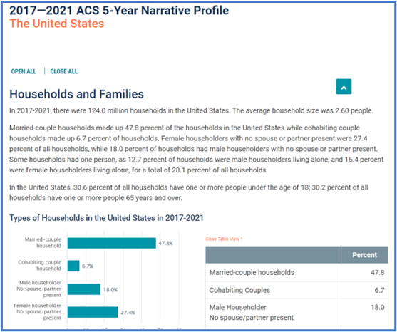
Narrative Profiles are short, analytic reports derived from the ACS 5-year estimates. Covering 18 different topic areas, each Narrative Profile provides text and bar charts to display highlights of selected social, economic, housing, and demographic estimates for a selected geographic area.
OnTheMap for Emergency Management
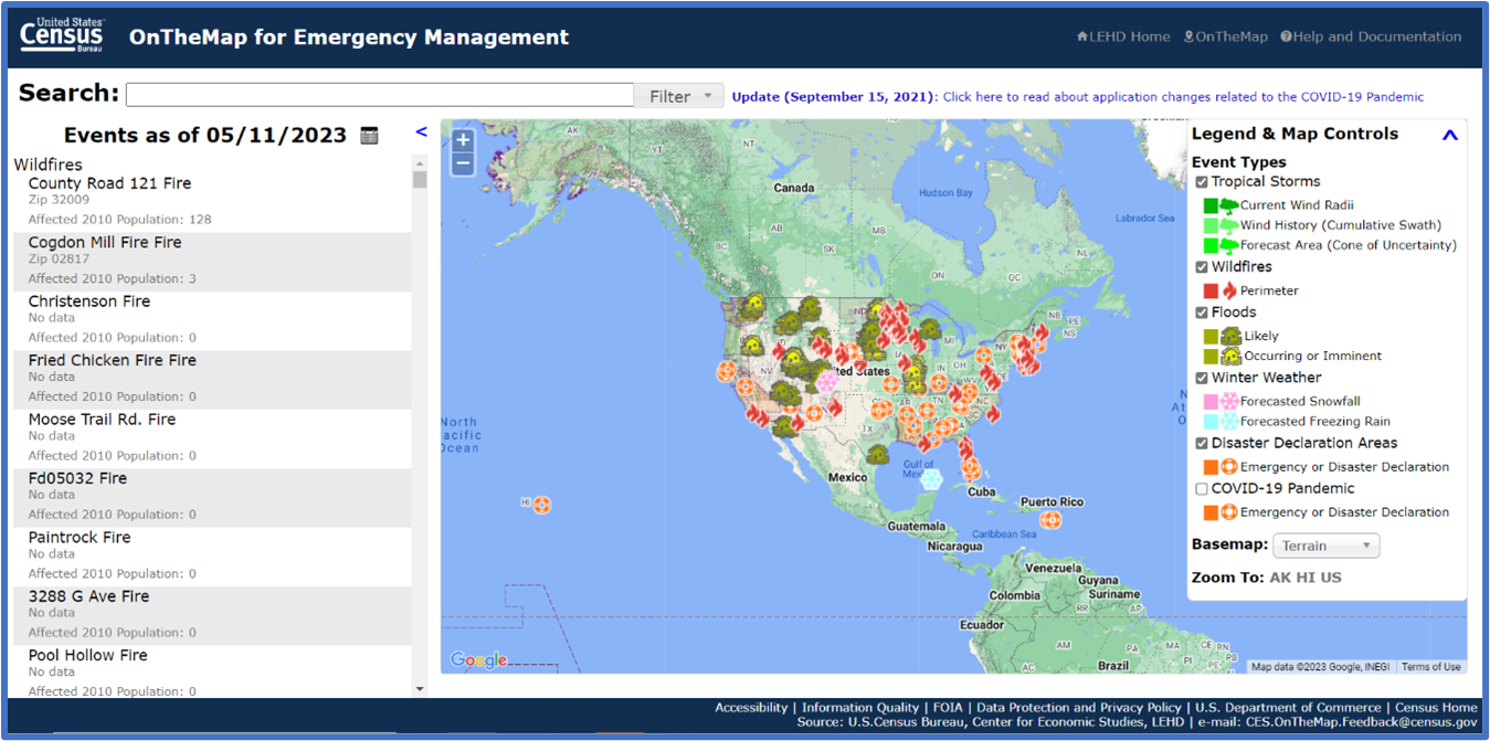
OnTheMap for Emergency Management is a public data tool that provides an intuitive, web-based interface for accessing U.S. population and workforce statistics, in real time, for areas being affected by natural disasters. The tool allows users to retrieve reports containing detailed workforce, population, and housing characteristics for areas with federally declared disasters, such as the ones affected by hurricanes, floods, and wildfires.
More advanced users also have several options to access more detailed ACS data through downloadable Summary Files, the Public Use Microdata Sample Files, and the Census Bureau’s Application Programming Interface (API).
ACS data is some of the most detailed the Census Bureau provides. We have a legacy of innovating, changing, and adapting to provide the American public relevant and actionable data – and by putting our data users first, we can make sure they have the best tools to access the information they need.
For more information on how to access our data, call 800-923-8282 or 844-275-3282, or e-mail census.askdata@census.gov. For how-to training videos, visit www.census.gov/academy. And for FAQs, visit ask.census.gov.
Page Last Revised - May 19, 2023
✕
Is this page helpful?
 Yes
Yes
 No
No
 Yes
Yes
 No
No✕
NO THANKS
255 characters maximum
 255 characters maximum reached
✕
Thank you for your feedback.
Comments or suggestions?

Comments or suggestions?