An official website of the United States government
Here’s how you know
Official websites use .gov
A .gov website belongs to an official government organization in the United States.
Secure .gov websites use HTTPS
A lock (
) or https:// means you’ve safely connected to the .gov website. Share sensitive information only on official, secure websites.
-
//
- Census.gov /
- Newsroom /
- Census Blogs /
- Random Samplings /
- Why is geography important to the Census Bureau?
Why is geography important to the Census Bureau?
Why is geography important to the Census Bureau?
Geography is at the heart of taking a census. The U.S. Census Bureau is tasked with counting everyone in the United States once every ten years, but we do not just count people; we count people where they live. Here are several reasons why geography is important to the Census Bureau.
The Census Bureau uses geography as the basis for taking the census.
Leading up to the decennial census, several kinds of geographic areas are delineated to aid in the collection of address information and the delivery and collection of census forms. These areas include local census offices, crew leader districts, assignment areas, and several others. Creating geographic boundaries allows us to take the census in an organized and systematic fashion. It also allows us to track our progress spatially. It ensures we cover all parts of the United States completely and as efficiently as possible.
Geography also takes on the role of ensuring we get our field workers out to everyone’s home. The Census Bureau stores all residential addresses that are included in the decennial census or on-going survey. In addition, we store all of the geographic features that need to go on a map to help field workers find all of the addresses. For the 2010 Census, and for our on-going survey work, we use both electronic and paper maps.
The Census Bureau uses geography as the basis for tabulating census data.
Data the Census Bureau collects are meaningless unless they are tied to a geographic area. Every number or statistic released by the Census Bureau relates to a specific geographic area. For instance, data users can find out the number of school-age children for the nation or for their city or even for their neighborhood. In fact, you can find data for more than 29 different geographic areas from the census blocks to counties to American Indian Reservations. Geography gives the data meaning and relevance. Visit Factfinder to learn more about available data.
The Census Bureau maintains unique geographic area boundaries that other local, state, and federal agencies use.
The Census Bureau collects, defines, and maintains boundaries for over 29 different geographic areas for our purposes, but the entities are often important to other federal, state, and local agencies as well. For example, the U.S. Small Business Administration and the U.S. Department of Housing and Urban Development use census tracts in their programs. The Census Bureau’s urban areas are used by other agencies for a variety of urban and rural programs. Furthermore, agencies utilize our boundaries for incorporated places, minor civil divisions, and counties since we update and maintain these legal boundaries from year to year.
-
Geography ProgramGeography is central to the work of the Census Bureau, providing the framework for survey design, sample selection, data collection, and dissemination.
-
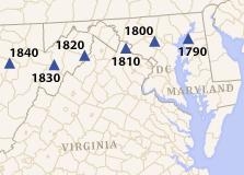
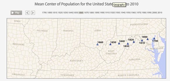
VisualizationMean Center of Population for the United States: 1790 to 2010January 01, 2010Map illustrating the mean center of population for the United States from 1790 to 2010.
-
2010 Census DecadeHere is an in-depth overview of the 2010 Decennial Census.
Follow us on Facebook and Twitter to learn more about Census Bureau products.
Share
 Yes
Yes
 No
NoComments or suggestions?


Top


