
Official websites use .gov
A .gov website belongs to an official government organization in the United States.
Secure .gov websites use HTTPS
A lock (
) or https:// means you’ve safely connected to the .gov website. Share sensitive information only on official, secure websites.

Topics
Data & Maps
Surveys & Programs
Resource Library
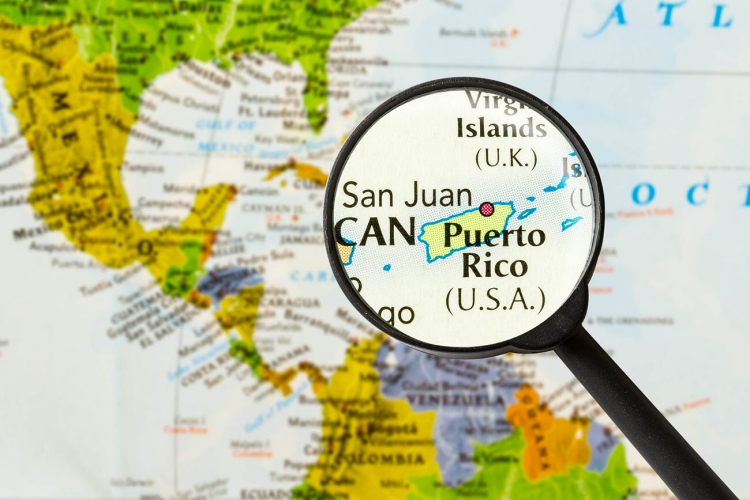
Developing a Data-Driven System for Identifying the Most Vulnerable Communities in Puerto Rico
Developing a Data-Driven System for Identifying the Most Vulnerable Communities in Puerto Rico
Working Paper Number SEHSD-WP-2023-19
Introduction

By helping communities better anticipate, respond, resist, and recover from disasters, social vulnerability mapping strengthens community resilience. This paper explains common issues indices have when identifying socially vulnerable communities in Puerto Rico and how the U.S. Census Bureau’s Community Resilience Estimates for Puerto Rico (CRE-PR) overcome these concerns. We demonstrate how small area modeling produces more precise and timely measures of the communities most and least vulnerable to disasters. The vulnerability of three groups in Puerto Rico are described: the total population, the population in the most vulnerable tracts, and the population in the least vulnerable tracts. We also analyze the similarities and differences in areas identified as the most vulnerable by CRE-PR and another commonly used index. Decision-makers and disaster planners may benefit from CRE-PR, which provides estimates of vulnerability that permit statistical comparisons, to make data-driven decisions that increase the resilience of underserved communities in Puerto Rico.
Related Information
Page Last Revised - June 5, 2023
✕
Is this page helpful?
 Yes
Yes
 No
No
 Yes
Yes
 No
No✕
NO THANKS
255 characters maximum
 255 characters maximum reached
✕
Thank you for your feedback.
Comments or suggestions?

Comments or suggestions?